1.800.457.2899






























































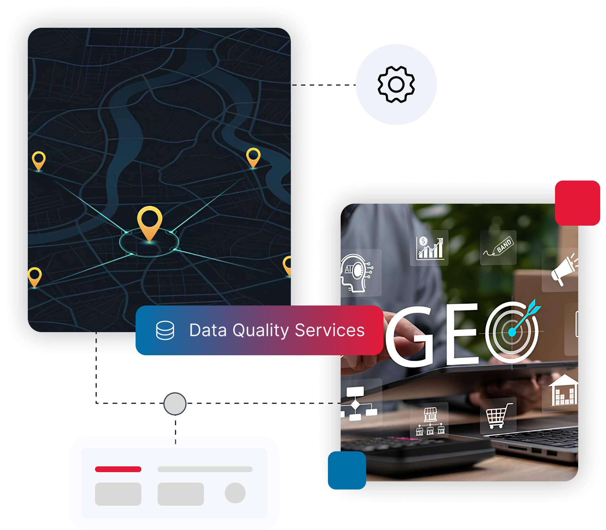

Geocoding is the process of converting a physical address into geographic coordinates, commonly referred to as latitude and longitude.
Once addresses are geocoded, they can be displayed on maps, analyzed geographically, and used for advanced targeting applications.
For example, a customer address can be transformed into a precise geographic location that can be used to:
- Create customer density maps
- Build custom trade areas
- Analyze market penetration
- Define sales territories
- Identify underserved markets
- Support geofencing campaigns
- Improve location based targeting
Geocoding turns static address records into valuable business intelligence.